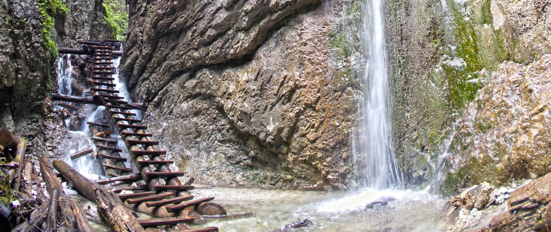
Slovak Paradise is a National Park where we can meet on our way not only terrain obstacles, but also chamois or...wolves.
80 kilometers from the Polish border stretches a picturesque karst plateau, which is part of the Slovak Ore Mountains. The average altitude of the Slovak Paradise is 800-1000m above sea level, and its highest peak is Vel'ka Knola (1266m). Paradoxically, however, this place is not about peaks, but about picturesque valleys and gorges.
Slovak Paradise, due to its low altitude and elevation, is not a demanding place. However, when going there, be aware that some trails are not easy. Many of them are one-way trails, where a mass of ladders await us, with which we will climb vertical walls. Therefore, when planning a trip to Paradise with children or people with a fear of heights, you should plan your route to avoid the most difficult trails.
Getting there
You can get to Slovak Paradise by train or bus from the border crossing at Lysá Polana by Slovak CSAD bus to Poprad. From there you have to take a passenger train (you won't get off the fast train at the right station, as it doesn't stop there) in the direction of Košice. After 15 minutes you get off at Vydrnik or Spišské Tomašovce station. From Vydrnik you will reach Slovenský raj after a 4 km walk, and from Spišské Tomašovce after a 2 km walk. You can also take advantage of one of the numerous offers of excursions to Slovak Paradise, which are organized by Zakopane companies.
How to get to Slovak Paradise by car? It's about a 70-kilometer trip. From the border crossing in Lysá Polana you take road No. 67. In Kežmarok you go to Vrbov, Janovce and Spišská Nová Ves. In Vrbov we pass a large thermal bath on the right. In Janovice, we turn left onto the main road leading from Poprad to Prešov (Presov) and follow it for a few kilometers to Spissky Czwartok (Spissky Stvrtok). To Podlesok, turn right; and to Cingov, go to Spissky Nová Ves and turn right in Smižany (about 6 kilometers after Stvrtok).
Routes for beginners (also with children)
For beginners, the best route will be the one from Čingov to Tomašovský výhľad. From the trail you will be able to admire not only the picturesque Hornád gorge, but also the High Tatras! The only gorge where you will not encounter ladders and other difficult obstacles is Zejmarska roklina. From Mlynek-Biely vôd, where you have to leave your car, it's only a few minutes' walk from the beautiful kpt Nálepku waterfall. After an hour you will reach the Geravy plateau, where another attraction awaits you - a ride on a chairlift. From its terminal station you have half an hour to the parking lot!
Intermediate routes
For the more adventurous, we recommend a 4-hour route along the Hornad Gorge. Two tourist centers, Čingov and Podlesok, are connected by a scenic trail, running with the current of this mountain river. The route is rich in ladders, bridges, chains and platforms, mounted in vertical rocks above the current of the river, so you should think carefully before taking it. Fortunately, it is always possible to turn back, as it is not a one-way route. Probably for this reason, it is one of the most visited paradise routes.
Difficult routes
Much more difficult and time-consuming is the route to Falcon Valley. Hikers choose it extremely rarely due to its high degree of difficulty and length. Almost the entire trail is quiet, and in autumn it is difficult to meet other tourists there. It was there, one autumn morning, that we were able to see a free wolf for the first time in our lives. We start this all-day expedition in Čingov, walking through Biely Potok (alternatively, we start in Podlesok). This is probably the most difficult of the routes in the Slovak Paradise. One-way, saturated with ladders that you can only climb. Climbing by ladders near the Skalný and Vyšný waterfalls is a cinch compared to the upcoming, almost 80-meter climb by ladders, chains and bridges at the Závojový waterfall. From Biskupský chyžiek we return to Klaštorisko or Podlesok.
Slovak Paradise is a beautiful place. However, it should not be underestimated. Trails that seem easy and short on the map can give many a person a headache. Therefore, before setting out on a trail, it is best to read information about the route you have chosen and look at photos to help you decide.


